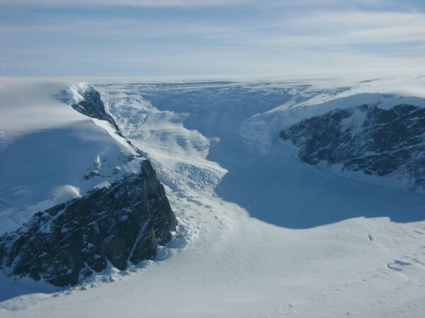
An international team of researchers has unveiled a detailed map of the hidden landscape beneath the vast ice sheet in Antarctica, shedding light on previously unknown secrets and terrains. This ice sheet covers an area of approximately 14 million square kilometers and is the largest single ice mass on Earth. Despite its significance, knowledge of the terrain beneath it remains limited compared to the surfaces of Mars or Venus. The researchers in this study employed a modern technique known as 'ice flow disturbance analysis,' which identifies distinctive features on the ice surface resulting from its flow over hills and valleys. They combined this technique with the latest satellite imagery to produce the most accurate image of the subglacial terrain. The new map reveals thousands of hills, valleys, mountain ranges, and deep ravines, showcasing a diversity of terrain shaped over millions of years.